Enhancing artificial intelligence place understanding through mobility patterns
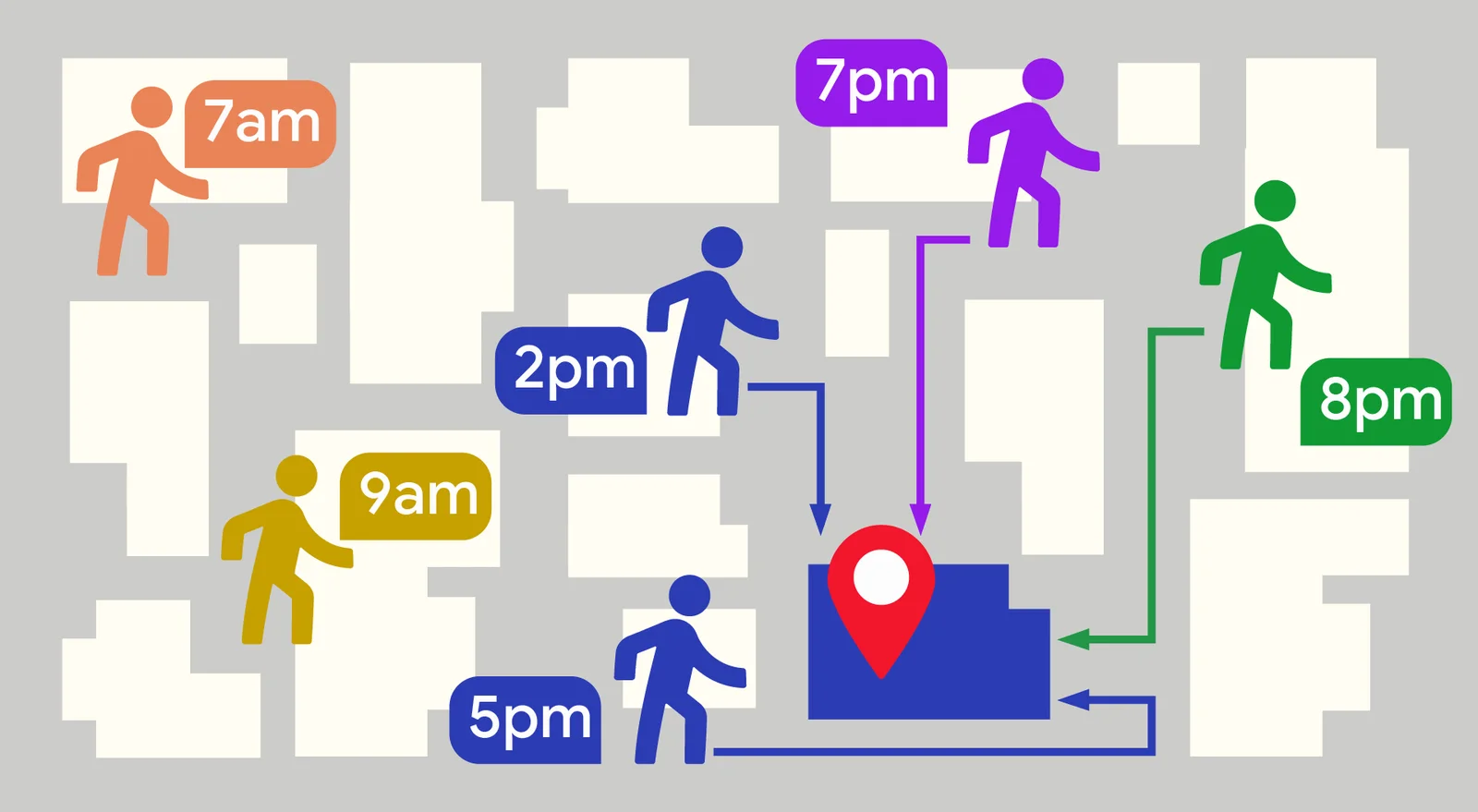
By integrating anonymized mobility patterns with textual metadata, a new framework allows language models to capture the dynamic rhythms of physical environments. This approach significantly improves predictions regarding real-world attributes such as operating hours, price levels, and crowd densities.
Published by Jin · 3 min read · 22 AUG 2026
Artificial intelligence has made substantial progress in understanding the world through text, yet comprehending the physical environment requires capturing more than static descriptions. Every physical location possesses both a formal identity on paper and an actual functional rhythm in the real world. Traditional language models typically evaluate points of interest using static metadata such as addresses and business categories. While proficient at processing text, these geospatial representations can be significantly enriched by incorporating the real-world operational dynamics of urban environments.
The ME-POIs framework
To bridge this gap, researchers introduced Mobility-Embedded Points of Interest, a novel framework that improves text-based place representations. Using publicly available benchmark datasets, the architecture incorporates aggregated and anonymized mobility patterns, including arrival times, stay durations, and surrounding movement. Rather than treating a location as a frozen set of words, the system employs a self-supervised approach to blend text descriptions with large-scale mobility data.
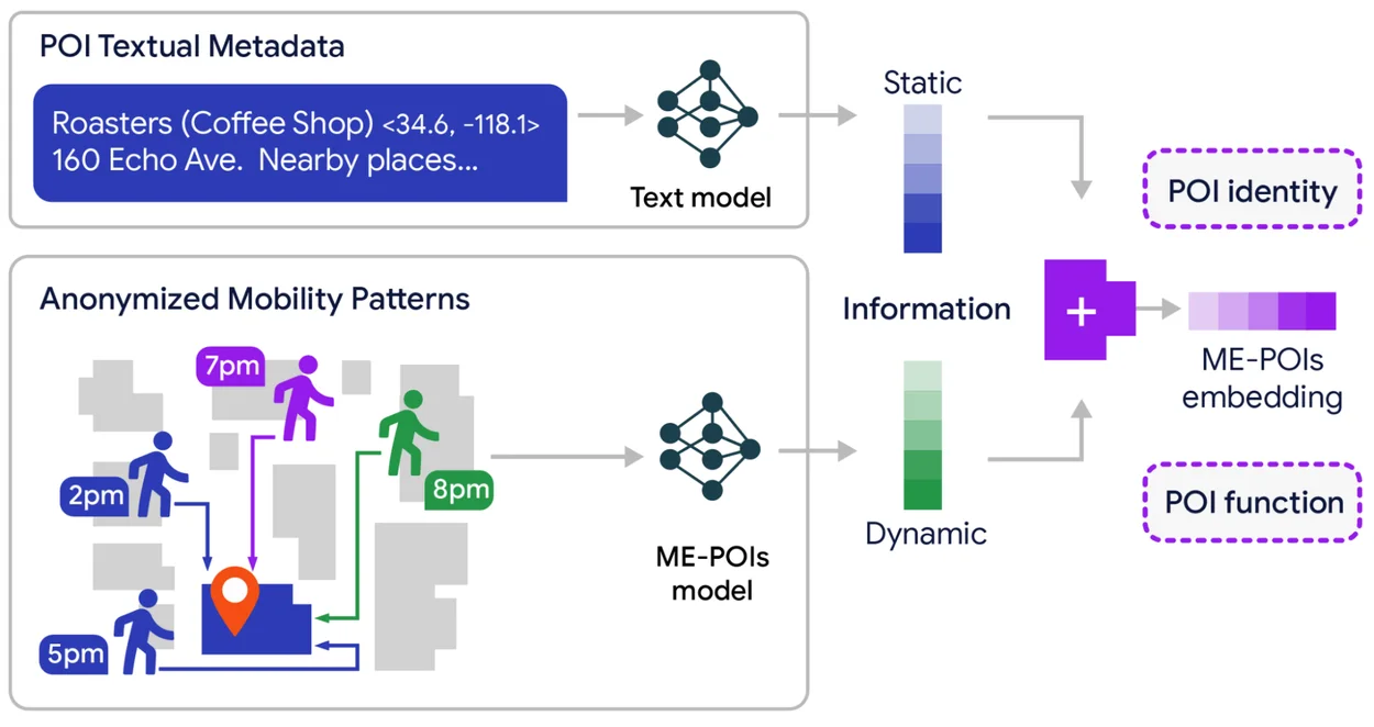
This process constructs a numerical vector representation that encodes both the identity of a place and its dynamic functionality. Integrating these enriched representations with advanced text models delivers a context advantage, yielding notable gains in predicting visit intent, price level classification, and busyness estimation accuracy across unseen locations.
Solving data sparsity
A persistent challenge in geospatial data science is the long tail problem. While prominent landmarks generate an abundance of visit data, the vast majority of local businesses suffer from severe data sparsity. When a model encounters a location with few recorded visits, it often defaults to assuming zero activity.
To overcome this, the framework utilizes a spatial multiscale visit propagation mechanism. Because smaller shops typically share behavioral traits with their regional neighbors, the architecture evaluates adjacent locations across multiple spatial scales, including the immediate street, block, and wider neighborhood. It then statistically transfers aggregated visit patterns from data-rich locations to sparse areas, applying an intelligent geographical prior.
Experimental results
Testing across Los Angeles and Houston evaluated the framework on five downstream tasks: opening and closing hours prediction, price-level classification, permanent closure detection, visit intent classification, and busyness forecasting. Crucially, the system was evaluated on entirely unseen locations to ensure it developed generalized intelligence rather than mere memorization.
The results confirmed that adding real-world mobility data to existing text models provides a distinct performance boost. In several instances, models relying on mobility data surpassed purely text-based language models, highlighting that collective physical actions can be exceptionally descriptive of a location's true nature.
Source — Original announcement ↗
Worth a read?
Comments · 0